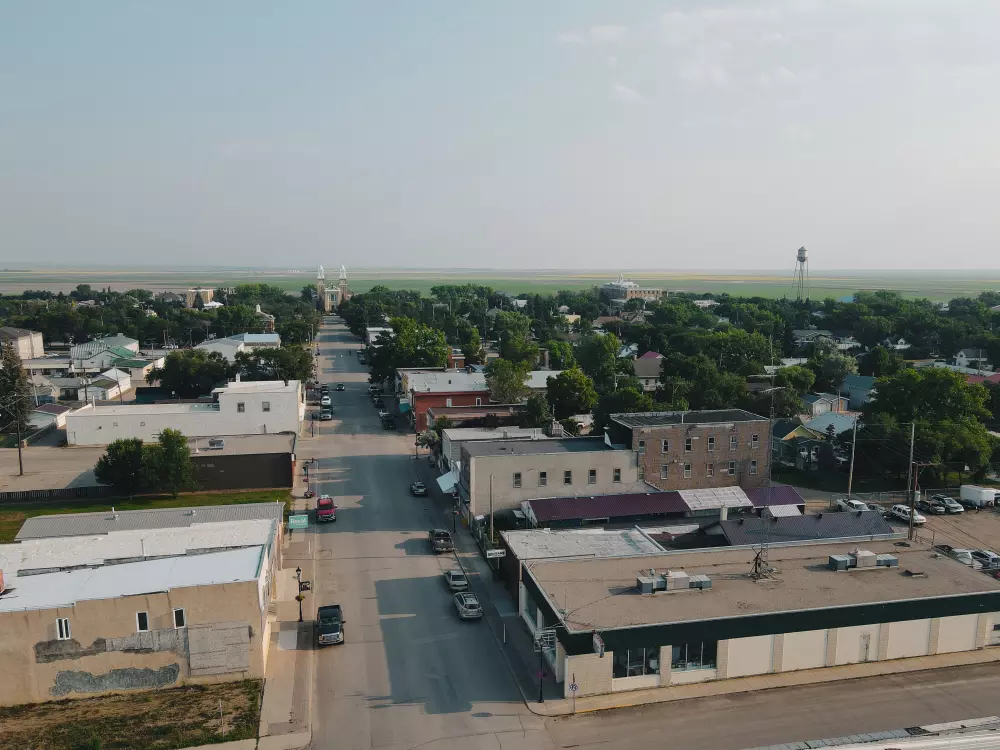
Gravelbourg is a small, historically francophone town in south-central Saskatchewan. The region served as a path for First Nations peoples many years ago, and was also integrated into the Redcoat Trail of the 19th century.
Location
- Latitude: 49 degrees 53' N
- Longitude: 106 degrees 33' W
- Elevation: 700.1m
- Time Zone: Central Time Zone
Highway Access
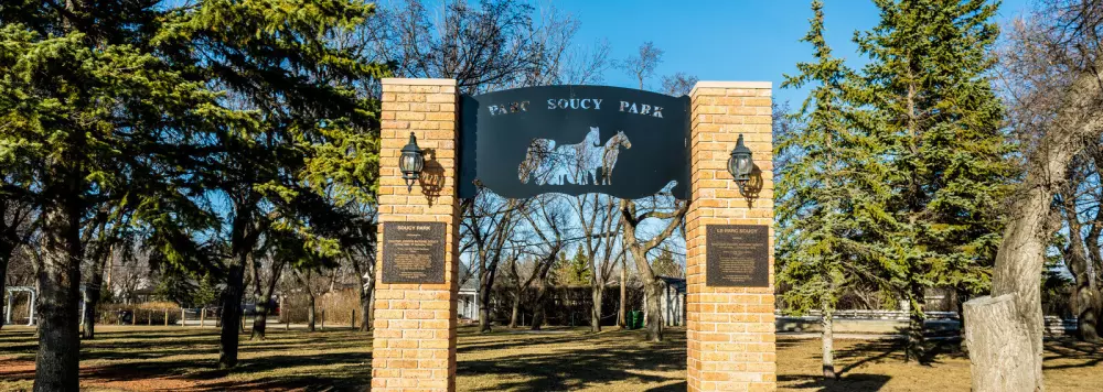
Highway access to Gravelbourg is provided by Highway #43 (east-west) and Highway #58 (north-south). Both highways are paved, two-lane surfaces. Gravelbourg is only 72 km south of the Trans Canada Highway. Gravelbourg has a 4 head EV charging station located in Soucy Park (2nd Ave E access).
Airport Services
The Gravelbourg Airport is located on the west side of town. It includes a 2,500-foot by 75-foot paved runway, taxi strip and apron. The runway is night-lit, and has a capacity for light aircraft. The airport's elevation is 700 meters (2,294 ft) above sea level. Find us on thegreatsouthernroute.ca!
Distance from Gravelbourg to...
Moose Jaw: 118 km / 73 miles
Canada - United States Border: 121 km / 75 miles
Swift Current: 130 km / 81 Miles
Regina: 196 km / 122 miles
Saskatoon: 343 km / 213 miles
Calgary, AB: 647 ksm / 402 miles
United States Ports of Entry
- Port of West Polar River - Highway 2
- Port of Coronach - Highway 36
- Port of Monchy - Highway 4
p>
More in this section
- Tourist InformationPlanning a visit to Gravelbourg? Start here!

- Things to DoThings to Do

- Getting HereWhere the heck is Gravelbourg, Saskatchewan?
- Heritage Walking TourSelf-directed tour of Gravelbourg's beautiful heritage buildings and historic sites
- AccommodationsAccommodations

- Campgrounds & ParksCampgrounds & Parks
- National Historic SiteNational Historic Site
- About GravelbourgHistory & Heritage
- WeatherSomething for everyone!